Northeast Pennsylvanians don’t have to look far beyond their backyards for adventure.
Hiking trails meander across the region, from wetlands to mountains and everywhere in between, and range from challenging paths for more experienced hikers to easy-level routes for those just getting started. And along the way, hikers can catch a glimpse of wildlife and take in the majesty of some of the state’s most impactful waterfalls.
Here are a few spots to get you started.
Lackawanna River Heritage Trail
The 70-mile route has trailheads in many communities along the way, not only in Lackawanna County but also Luzerne, Susquehanna and Wayne. Some sections are paved, too.
Where: Pittston to Union Dale
When: Daily, dawn to dusk
Trail to try: The 9.2-mile Mid Valley section brings visitors close to the water with many shady spots full of wildlife. The trail sections around Blakely and Archbald are particularly picturesque and also have playgrounds at the trailheads for kids to enjoy.
Details: 570-963-6730 or lhva.org/HeritageTrail.php
ACCESS NEPA FILE
You can reach Lake Lacawac by trail at the Lake Ariel environmental center.
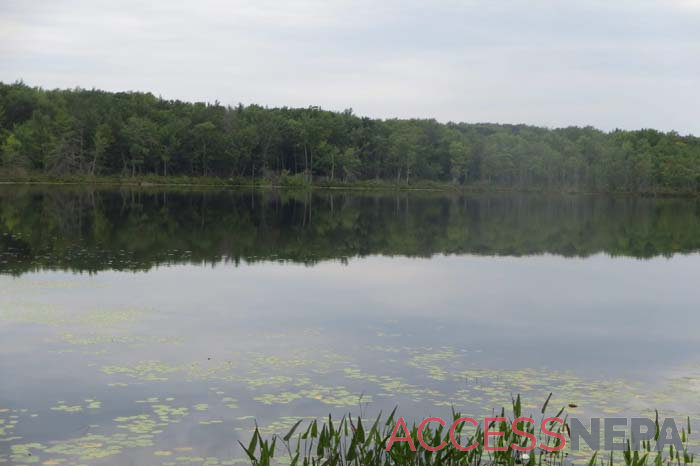
Lacawac Sanctuary Field Station and Environmental Education Center
This nonprofit organization near Lake Wallenpaupack has numerous trails, most of which are considered easy-level and are less than a mile long. Guests also can stop by the Coulter Visitor Center to learn more about the center and its work.
Where: 94 Sanctuary Road, Paupack Twp.
When: Daily, sunrise to sunset
Trail to try: Wind your way through woods and wetlands on the Lake Lacawac Trail, a 1.1-mile intermediate-level route around the site’s main body of water.
Details: 570-689-9494 or lacawac.org
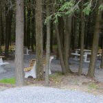
Nay Aug Park
Scranton’s 73-acre park has several easily accessible trails winding their way over the land and giving guests access to many of the park’s amenities. Many are paved, too, making them the perfect spot for a leisurely stroll.
Where: 500 Arthur Ave., Scranton
When: Daily, dawn to 8p.m.
Trail to try: The 2-mile unpaved Davis Trail gives visitors an up-close look at the gorge and waterfalls; enter behind the McNulty Greenhouse.
Details: nayaugpark.org
CAITLIN HEANEY WEST / STAFF PHOTO
Visit the Fall Brook and Overlook trails at Salt Springs State Park.
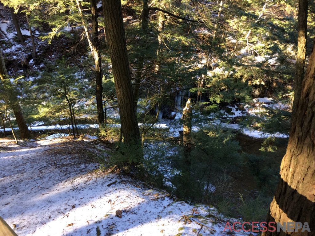
Salt Springs State Park
This park in Susquehanna County contains nearly 15 miles of trails that take visitors past a gorge and through old-growth forest. No trail is more than 2 miles long, and there is a mix of easy-level and more challenging routes.
Where: Silver Creek and Salt Springs roads, Franklin Twp.
When: Daily, sunrise to sunset (day use areas close at dusk)
Trails to try: The 1-mile, most difficult-level Fall Brook trail can be linked with the 0.2-mile, easy-level Overlook trail for a close-up look at waterfalls. While the Fall Brook section is steep in places and can be slippery, the Overlook is level and ADA accessible.
Details: dcnr.pa.gov/StateParks/FindAPark/SaltSpringsStatePark or 570-945-3239
Promised Land State Park
Located in Pike County, the roughly 3,000-acre park is surrounded by Delaware State Forest, and about 50 miles of trails wind their way through the two properties. Attractions include a natural glacial lake and several small waterfalls.
Where: 100 Lower Lake Road, Green Twp.
When: Daily, sunrise to sunset (day use areas close at dusk)
Trails to try: Stroll among the wildlife on the 1.2-mile, easy-level outer loop trail on Conservation Island, located in Promised Land Lake. Take in the views of the water and the wildlife that calls it home.
Details: dcnr.pa.gov/StateParks/FindAPark/PromisedLandStatePark or 570-676-3428
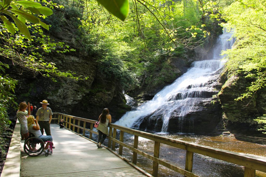
Delaware Water Gap National Recreation Area
The National Park Service oversees this area that spans the Pennsylvania and New Jersey sides of the Delaware River. It has more than 150 miles of trails, and parking lots for some of the more popular trails – such as Mount Tammany, Mount Minsi, Raymondskill Falls, Dingmans Falls, Hackers Falls and Buttermilk Falls – typical fill up by 9a.m. on weekends, according to the NPS.
Where: Dingmans Falls Visitor Center, Route 209 and Johnny Bee Road, Dingmans Ferry
When: Daily, sunrise to sunset
Trail to try: The Dingmans Creek Trail is not only short (0.8 mile round-trip), easy and mostly flat but also stroller and wheelchair accessible. A boardwalk trail, it takes visitors past the 80-foot Silverthread Falls and onto Dingmans Falls, the second highest waterfall in the state. Those who can will want to make the last 0.1-mile trek up a staircase to the top of the upper falls.
Details: 570-426-2452 or nps.gov/dewa
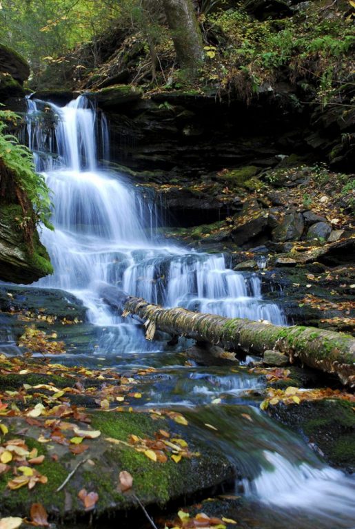
ACCESS NEPA FILERicketts Glen State Park, Benton, is renowned for its scenic Glens Natural Area, a national natural landmark.
Ricketts Glen State Park
Located in Luzerne, Sullivan, and Columbia counties, the park has 26 miles of trails, with the most famous taking visitors past a series of spectacular waterfalls, the tallest of which is 94 feet high.
Where: 695 Route 487, Benton
When: Daily, sunrise to sunset (day use areas close at sunset)
Trails to try: The full Falls Trail loop is 7.2 miles long, but visitors can see most of the waterfalls if they take a 3.2-mile loop consisting of the Highland Trail and Glen Leigh and Ganoga Glen sides of the trail. The park recommends that hikers be in good shape, wear sturdy boots and stay cautious since the Falls Trail is steep and may be wet and slippery.
Details: dcnr.pa.gov/StateParks/FindAPark/RickettsGlenStatePark or 570-477-5675

Caitlin Heaney West is the content editor for Access NEPA and oversees the Early Access blog in addition to working as a copy editor and staff writer for The Times-Tribune. An award-winning journalist, she is a summa cum laude graduate of Shippensburg University and also earned a master’s degree from Marywood University. Caitlin joined the Times-Shamrock family in 2009 and lives in Scranton. Contact: cwest@timesshamrock.com; 570-348-9100 x5107; or @cheaneywest